OUR INDUSTRIES
Water
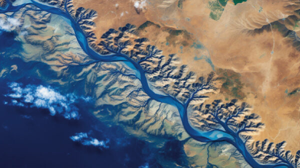
TDS secures and safeguards water resources across their whole cycle: exploration and aquifer characterisation, drilling supervision and well services, national monitoring networks, hydrological and hydrogeological modelling, and water-quality programmes. From single wells to Kingdom-wide networks, we give water authorities and utilities the data to manage a scarce resource with confidence.
Water Services →

Environment
TDS turns environmental risk into measurable insight. Baseline studies, environmental impact assessments, compliance monitoring and IoT-enabled networks across water, soil, air and marine environments give industrial, infrastructure and energy clients the evidence they need to protect ecosystems and satisfy regulators.
Environment Services →
Mining
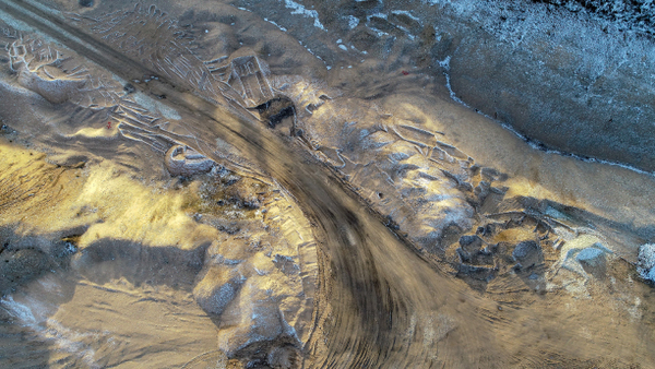
TDS delivers integrated geoscience and water intelligence across the full mine life cycle. Combining exploration geophysics, hydrogeology, tailings and mine-water monitoring and AI-driven targeting, we help operators and ministries de-risk projects from first drill hole to final rehabilitation, with a growing focus on critical minerals.
Mining Services →
Green Energy
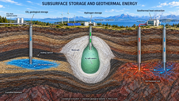
The energy transition runs through the subsurface, and TDS maps it. From CO₂ sequestration site screening and hydrogen storage feasibility to geothermal reservoir exploration and design, we bring geoscience rigour to the technologies powering a lower-carbon future.
Green Energy Services →
WHAT WE DO

Subsurface Intelligence
Geophysics on the ground, from the air and by drone, borehole logging, and hydrogeological and geological modelling: the picture of the subsurface that every industry decision starts from.
Monitoring
Air, soil, water and marine: air quality, light and noise pollution, soil quality, ground and surface water, marine and coastal water, with inland and marine emergency response and a central data service. Delivered end to end: design, supply and install, operation and maintenance, calibration, data integration, data management, data analytics and AI.

AI and Data Management
Field data into governed enterprise systems: databases, cloud migration, data security and analytics dashboards, plus AI models for interpretation and forecasting.

Disaster Management
AI-powered flood, landslide and inundation forecasting for communities and infrastructure operators.

2003
Operating since

16
Branches in Saudi Arabia

7
Countries

4
ISO certifications
Featured projects
CO₂ Sequestration Feasibility in Deep Saline Aquifers
Arabian Platform, north of Riyadh, Saudi Arabia
A regional feasibility study of permanent CO₂ storage in the deep saline formations that lie beneath the Kingdom’s freshwater aquifers. TDS acquired two regional geophysical transects of roughly 250 km in total (magnetotellurics, transient electromagnetics and gravity, tied to deep-well stratigraphy)
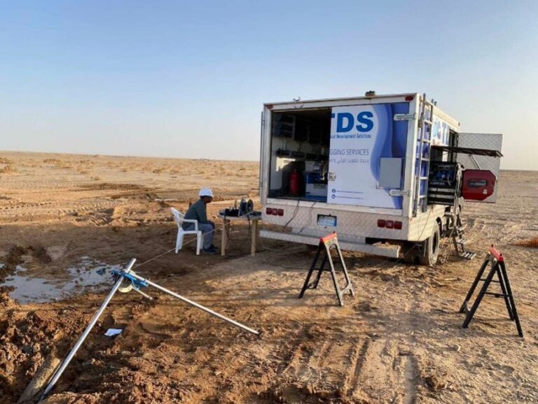
Borehole Geophysical Logging for Hard-Rock Lithium Exploration
Arabian Shield, Saudi Arabia
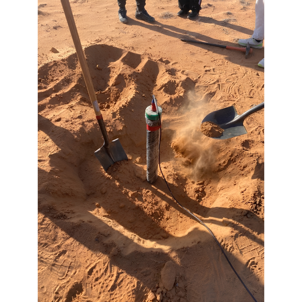
In the exploration drill holes of the same lithium prospect, TDS logged natural gamma, induced polarisation, magnetic susceptibility, electrical resistivity and hole verticality.
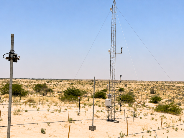
Automatic Sand Encroachment Monitoring Station
Al Ahsa, Eastern Region, Saudi Arabia
TDS supplied, installed and commissioned a fully autonomous station to measure wind-driven sand movement at a remote desert site. A meteorological tower carries a near-surface wind-speed profile, wind speed and direction at 10 m, temperature, humidity and rainfall sensors.
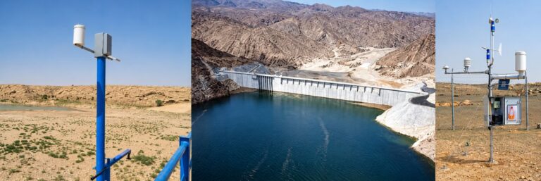
Furata: National Hydro-Environmental Digital Twin
Kingdom of Saudi Arabia
Furata is TDS’s own software platform, built in house as a digital twin of the Kingdom’s water and climate system. Live feeds from more than 1,000 rainfall, climate, groundwater, dam and wadi-flow stations are integrated with hydrological and groundwater models.
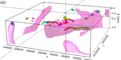
Natural Hydrogen Exploration: Integrated Geophysics, Geochemistry and AI-Assisted Modelling
North-western Greece · Arabian-Nubian Shield (Saudi Arabia, Egypt, Oman, United Arab Emirates)
TDS works on focus on ophiolitic and ultramafic rocks where serpentinisation produces hydrogen through water-rock reaction.
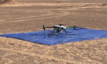
Integrated Hard-Rock Lithium Exploration: Drone and Ground Geophysics, Laboratory Analysis and AI
Arabian Shield, Saudi Arabia
An ongoing exploration programme for lithium-bearing pegmatites that goes beyond anomaly picking to an understanding of the rocks themselves.
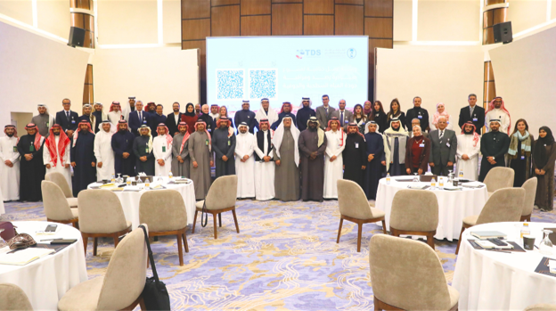
National Water Quality Monitoring Programme for Groundwater and Surface Water
Kingdom of Saudi Arabia, nationwide
TDS supported the national environmental regulator in building a sustainable, Kingdom-wide water-quality monitoring programme.
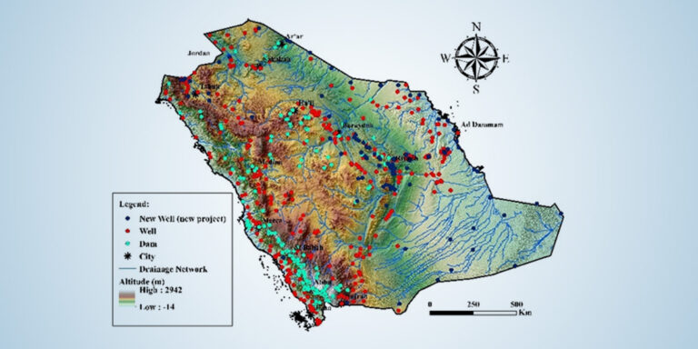
National Hydrological Network and Monitoring Wells
Kingdom of Saudi Arabia, all regions
TDS delivers the Kingdom’s national hydrological network end to end: rainfall, climate, dam-level, wadi-flow and groundwater-monitoring stations across every region.

Salinization Mapping & ASR Feasibility Study (Riyadh Region)
Salinization Mapping & ASR Feasibility Study (Riyadh Region).

CO₂ Sequestration Feasibility in Deep Aquifers (Riyadh Region)
CO₂ Sequestration Feasibility in Deep Aquifers (Riyadh Region).

Geothermal Exploration in Western Saudi Arabia for Power Generation
Geothermal Exploration in Western Saudi Arabia for Power Generation.

Shallow Geothermal Exploration in East Province for Cooling/Heating
Shallow Geothermal Exploration in East Province for Cooling/Heating.

Design, Construction and Upgrade Roads and Infrastructure in Areas Affected by Floods
Design, Construction and Upgrade Roads and Infrastructure in Areas Affected by Floods.
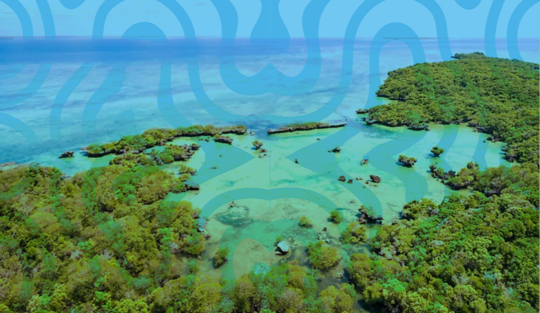
Integrated Water Resources Monitoring Network
This project in Tanzania focuses on comprehensive monitoring and data collection across various hydrological systems. The project encompasses: Hydrological Surface Monitoring: Stream Gauge Network…
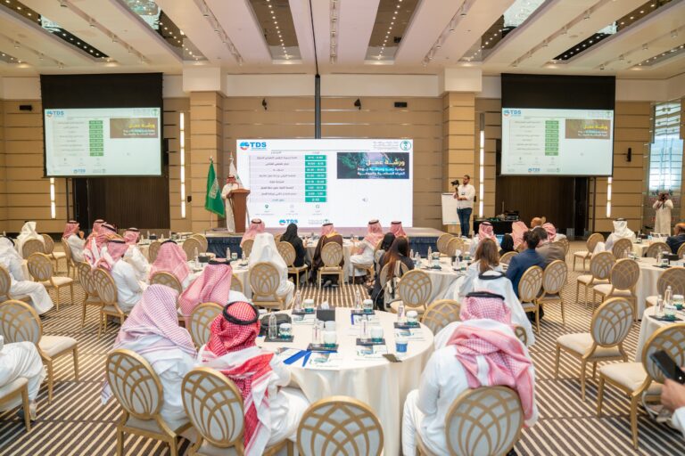
Implementation of a Water Quality Monitoring Program for Groundwater and Surface Water in KSA
Create a Unified Framework incorporating international and national standards, to monitor and control the quality of both surface and groundwater across the kingdom: Comprises…

Geophysical Survey for Water Exploration
Conduct geophysical survey by using Magnetotelluric technique for water exploration of sites at Riyadh, Arar, Tabuk, Jouf Area

Increase the coverage of the Hydrological Network in KSA
Supply & install 130 stations various between climate, rainfall, and surface water level stations.
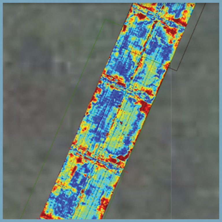
GPR -Utility Mapping
Utility mapping by means of Ground Penetrating Radar Survey at Terminal 3 – Dubai Airport. The objective was to carry out a utility survey…
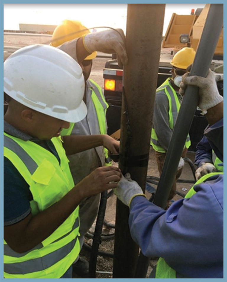
Pumping Test for Aquifer Characterization-Abu Dhabi
Carry out pumping tests for (100) selected wells and the step drawdown tests for 20 wells to evaluate the aquifer and identify the hydrological…

Non-contact Volumetric Flow Monitoring in 10 wadies
Hydrological modeling for 10 wadies Supply and install 10 discharge keepers Real-time Discharge Measurement (Discharge measurement, average surface velocity, water level measurement) Data…

Vertical Straightness Geophysical Logging & Pumping Test
Conduct a detailed Vertical Straightness, Geophysical logging & Pumping Test for one water well at Khurais – Riyadh Work has been carried out using…

Drilling Program & Video-Cam Inspection
Conduct video-cam inspection, geophysical survey Drilling three production wells, geophysical logging and pumping tests

Supply and Install Groundwater Monitoring System in Mataf Masa’a and Shamiyah
Supply, installation, operation and maintenance of 35 groundwater monitoring systems at Masaa, Mataf, and Shamiyah for Haram Expansion Project -Makkah
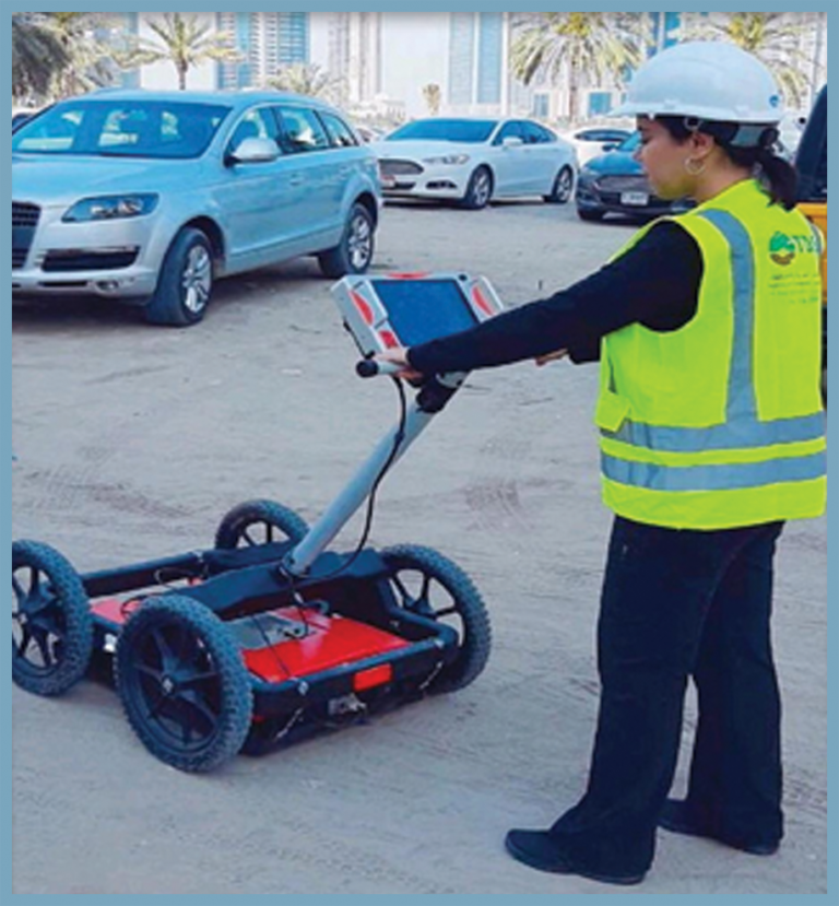
GPR -Structural assessment – Abu Dhabi
Concrete scanning to inspect several structural elements such as beams, columns, rebars and foundations by using GPR surveying within 13 buildings in in Al…

Well Video-Cam Inspection
A downhole video camera inspection survey was recommended and approved to determine the downhole conditions in the wells The survey provided appropriate solutions for…
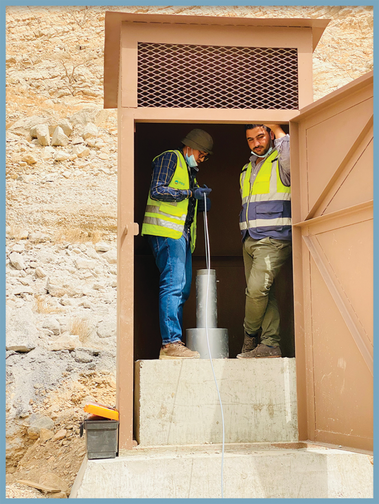
Supply & Installation of Monitoring System in Ras Al Khaimah
Supply of SlimLogCom 3G+ Ground Water Monitoring System in Naqab Dam -UAE
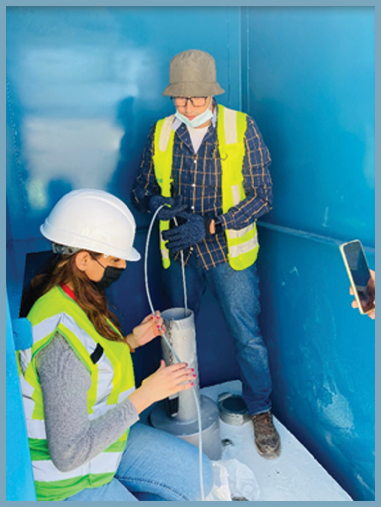
Supply & Installation of Monitoring System in Ras Al Khaimah
Supply of SlimLogCom 3G+ in Dams in Rahbah & Shamil School in Ras Al Khaimah

Hydrological Network Project
Water resources data management, Operation, and maintenance of hydrological network and observation wells in the Kingdom. The project consists of 1064 stations various…

Saltwater Intrusion & Contaminations Studies of the Groundwater
Groundwater monitoring stations with installation, operation, and maintenance Hydrogeological and Geophysical modeling data acquisition, processing, and interpretation (ERT,TDEM) Set up a monitoring program to…

Non-contact Volumetric Flow Monitoring in several wadis
Hydrological modeling for several wadies Supply and install discharge keepers Real-time Discharge Measurement (Discharge measurement, average surface velocity, water level measurement) Data analysis…

The Ground Water Monitoring (Zam-Zam)
Video-Cam Inspection to get information about well condition depths, casing, and water level Set up a monitoring program for tracking any expected contamination…

Maintenance Program for Meteorological & Monitoring Stations around the kingdom of Saudi Arabia
Supply & install spare parts of meteorological and monitoring stations

Groundwater Monitoring System Installation
Supply and install monitoring systems for 40 wells

Geophysical Logging Services
Conduct geophysical logging by using density, resistivity, NGAM, Gamma Spectroscopy for 1000 wells around the Kingdom of Saudi Arabia

Groundwater exploration in Rub’ al alKhali
Conduct a geophysical survey by using time-domain electromagnetic method of groundwater exploration at Shaybah, Rub’ alKhali near the border of Oman

Drilling Two Monitoring Wells
Conduct drilling, pumping test Supply & install monitoring systems for two wells
No projects in this industry yet.
Four environments, one delivery chain
Every monitoring programme is delivered end to end by TDS teams and feeds one central data service.
Delivery chain
Design
Supply & install
O&M
Calibration
Data integration
Data management
Data analytics & AI
Latest from TDS
TDS Diamond Sponsor of GEOMIN 2026
The Event GEOMIN Event 2026 took place from 14-16 September 2026 at the Hilton Tashkent City in Tashkent, Uzbekistan, organized… Mining

Water, environment, mining and green energy look like four industries. Beneath the surface they are one question: what is down there, and how will it behave? TDS was built to answer it with measurement, modelling and AI, not assumption. That is how we serve the Kingdom’s next decade.
— Dr. Mohamed Gad, CEO